Avalanche Fatality Mapping
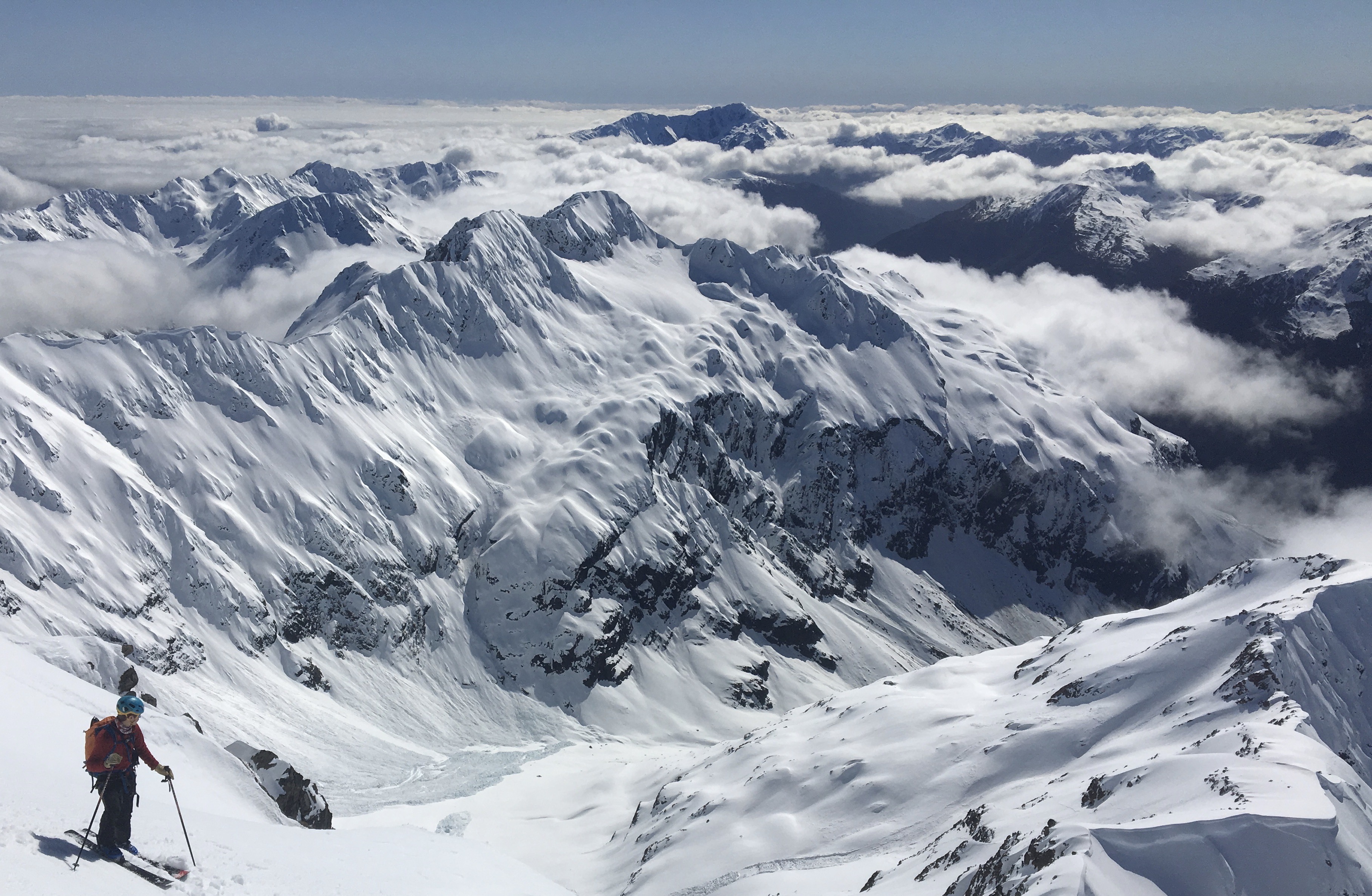
Backcountry skiing on Mount Rolleston with natural avalanche visible on the slopes below.
Why Avalanches?
I have been drawn to the outdoors for my entire life, and since moving to Washington state to attend college backcountry skiing has been my greatest passion. Backcountry skiing is an inherently risky activity, which requires the appropriate knowledge and respect for the dangers of snow covered mountains including the danger of triggering an avalanche. For a senior independent research project I am studying the interactions of climate change, decreasing mountain snowpack and backcountry recreation. One component of this project is an analysis of recorded avalanche fatalities, to better understand how people are putting themselves at risk and the dangers which exist. This avalanche mapping is conducted with the intention of the utmost respect for the friends and families of victims, with the goal to better learn and educate from these tragedies.
Explanation of Maps and Sources
The first map focuses on Washington State, showing the location of every recorded avalanche death in the state's history. The deadliest avalanche ever in Washington and the United States occured in 1910 near Steven's Pass, when a full train was struck by a massive avalanche, killing 96 people. The majority of other accidents have occured in more recent years, typically by small groups of skiers, snowmobilers, or climbers. Clicking on individual points, a popup menu contains information showing the date, name of approximate location, number of deaths, and a link to a more in depth accident report. These accident reports shed much light on the circumstances and conditions leading to these tragic events, and I encourage readers to take a look at the reports created by avalanche proffessionals. The icons are colored based on the activity being done at the time of the fatality.
The second webmap displays every avalanche fatality in the United States and Canada so far in the 2020-2021 Winter season. This Winter has seen an unprecented number of deaths due to avalanche, likely in part due to increased backcountry usage. A better understand of how, when and where people are losing their lives due to avalanches will hopefully lead to increased awareness and safety from those who partake in these backcountry activities.
The data mapped in this project was compiled by Thomas Kakatsakis from a variety of sources including the Northwest Avalanche Center, the Colorado Avalanche Information Center, and Avalanche Canada. In instances where an exact location is not provided, lat lon coordinates are estimated from available information.
Applied Libraries and Acknowledgment
Github is used to manage changes and host the site. Leaflet is used to generate webmaps and display spatial data. D3 is used to visualize data. Chroma is used for color palettes and display, Font Awesome is used for map icons, JQuery is used to integrate data. Basemaps are provided by OpenStreetMap, Cartocdn, and ArcGIS.
Example code and labs created by Dr. Bo Zhao and Tyler McCrea have enabled this webmap to be possible. It is created as a final project for UW course Geography 458: Digital Geographies